By Angela Mele
Holden Village: hard to get to, hard to forget
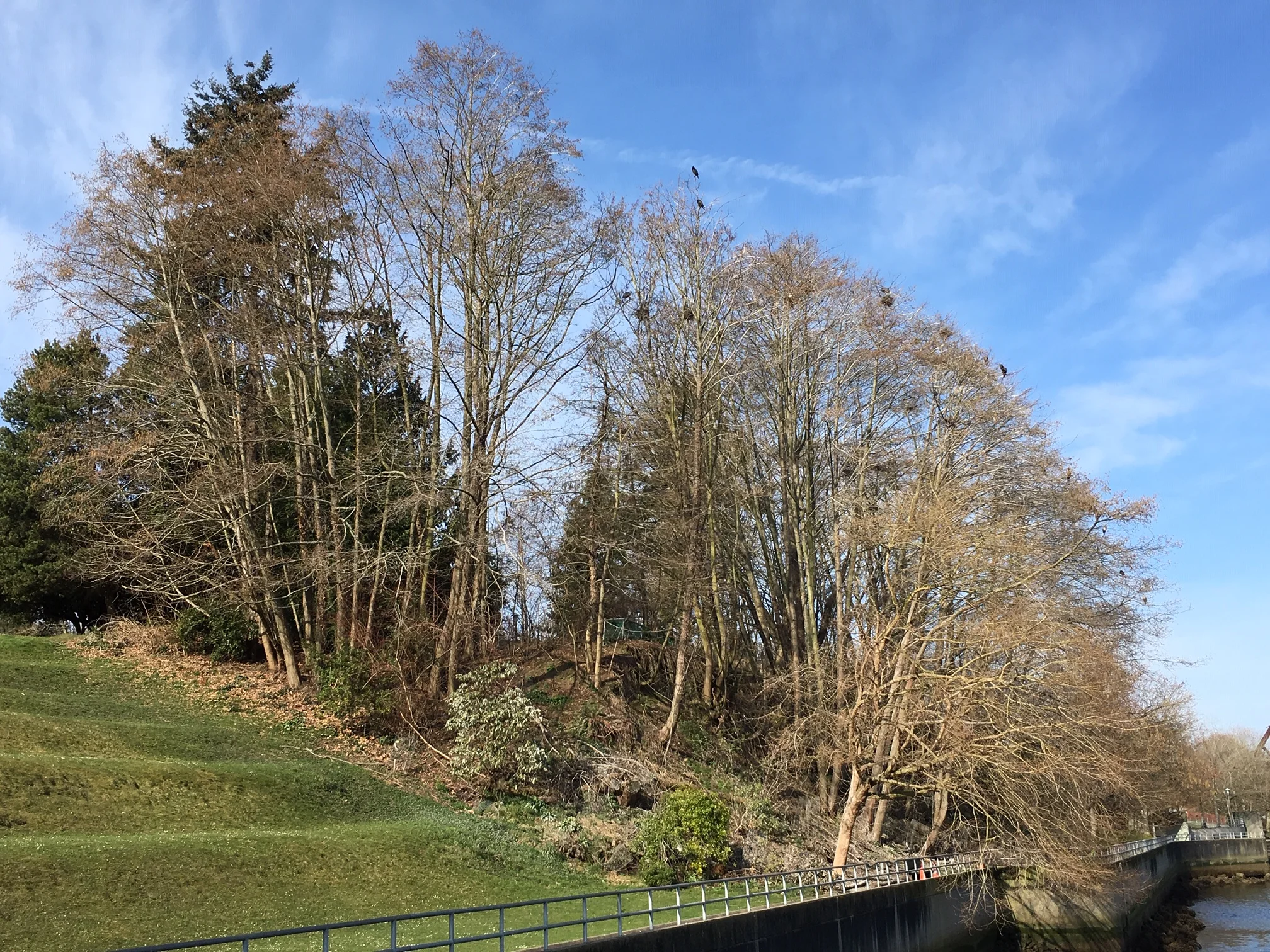
Most clients assure us that their site is hard to understand until you’ve spent significant time there. This is particularly true in the case of Holden Village. Since the 1960s, this former family-friendly mining town has been transformed into a “remote wilderness community, rooted in the Lutheran tradition, that welcomes all people into the North Cascade Mountains.” Despite my lack of religious affiliation I’ve journeyed there many times via the requisite road trip, ferry ride, and steep climb up a mountain in a retro school bus to trade my expertise in interpretive planning for meaningful experiences and delicious bread. In summer 2022, I returned again to help the Village with public engagement efforts around the challenging topic of wildfire.
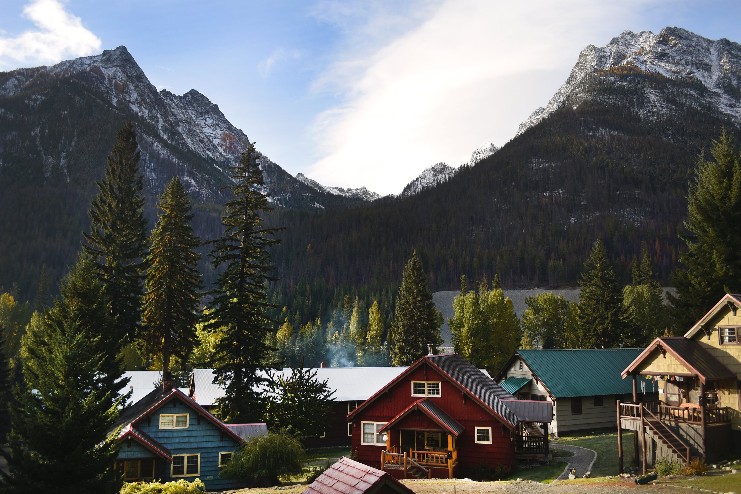
Holden’s 1930s-era chalets against the backdrop of the Glacier Peak Wilderness. Image by Hannah Lauber.

A crowd greets you with smiles and kazoos as the bus slides into Main Street. Image by Carter Schafer.
Burning questions
In August 2015 the lightning-sparked Wolverine Fire burned over 60 acres west of Lake Chelan. As flames crept toward Holden, experts lit ridgetops on fire, then coaxed the burn toward the edge of the village until its intensity was decreased and it could be put out.
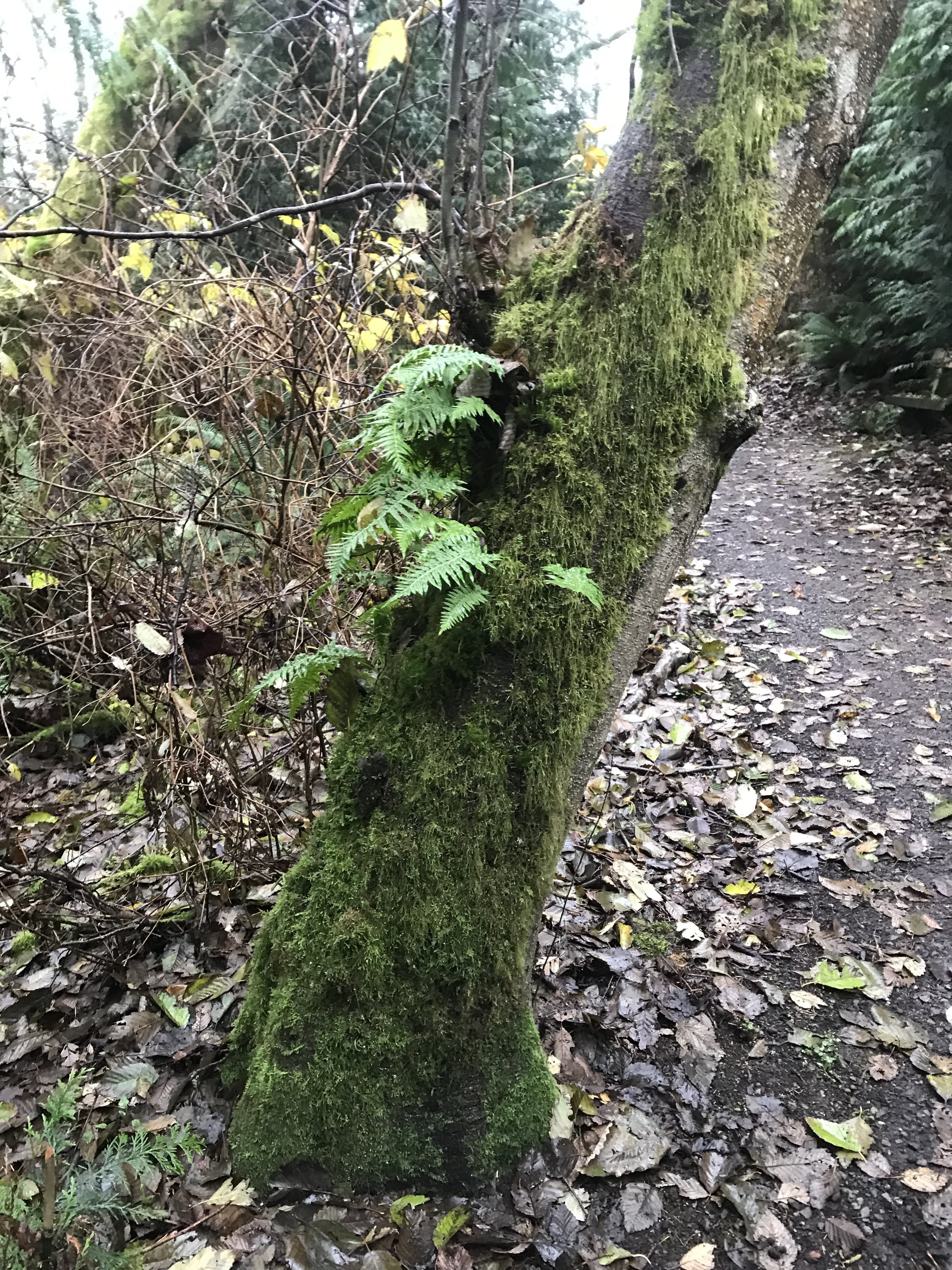
Riding the bus up switchbacks to the village you see acres of blackened dead trees. Fireweed blooms like crazy in patches; other areas remain disconcertingly spare. Visitors have many questions, and Holden’s board is exploring ways to increase communications about fire in the valley.

Smoke and flames from the Wolverine fire in 2015. Image courtesy of USFS.

Wolverine crept closer to Holden over the course of three weeks.
I was invited to teach a class in summer 2022. After speaking with leadership about challenges and opportunities around fire interpretation, I decided that my class would consist of an interpretive planning session, resulting in ideas that could inform a fire-themed interpretive trail. I invited my friend Laura Frick, Exhibits Coordinator for the Delaware State Park system, to join in.
The theme for all summer sessions was jubilee, or the concept of restored relationships leading to abundant life for all. What does jubilee have to do with wildfire? Read to the end to find out!

The US Forest Service planted thousands of trees in burned areas of the valley around Holden in 2018. Image by Hannah Lauber.
Sometimes interpretive planning is really just like having a conversation. Image by Annika Berntsen.
Community creation of interpretive plans and concept sketches: a case study
Below is an outline of each daily 2-hour workshop.
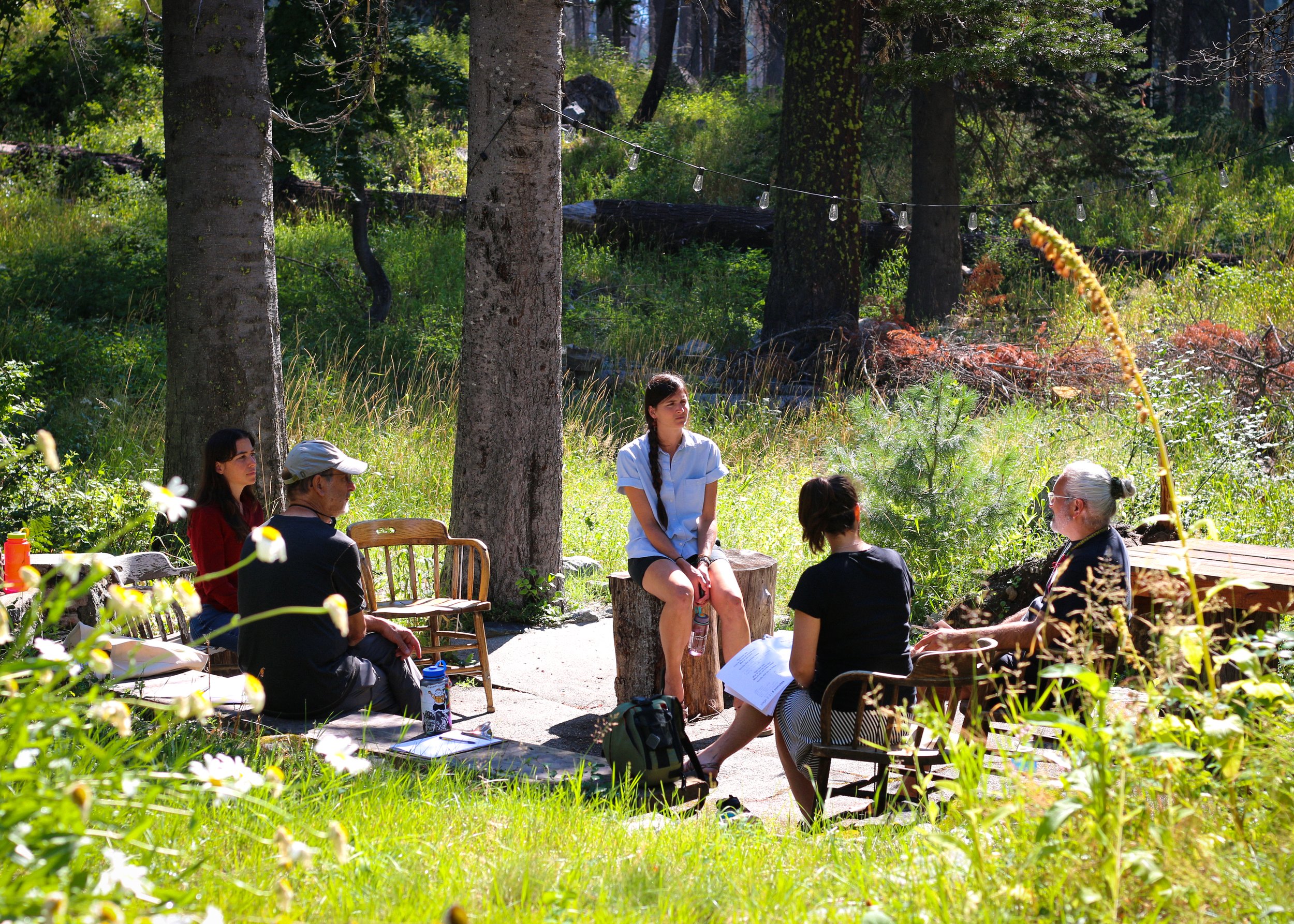
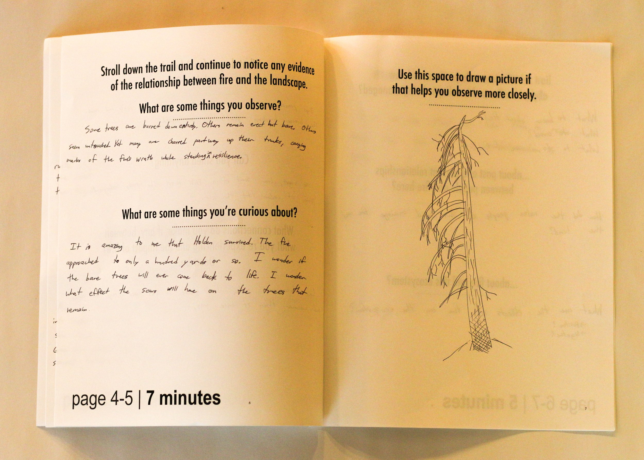
Site visit & nature-journaling: 25 minutes
The what, why, and how of interpretive planning: 15 minutes
The fastest subject matter research in the West: 20 minutes
Basic interpretive planning: 30 minutes
Creating concept sketches: 30 minutes
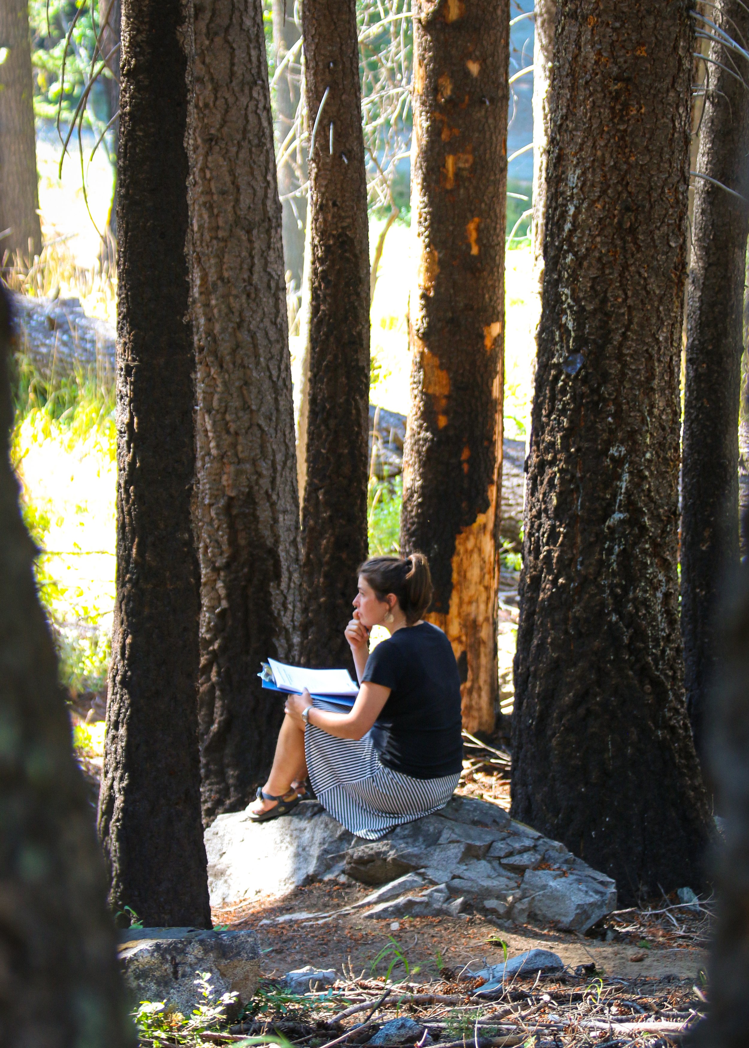
Image by Annika Berntsen.
Site visit & nature-journaling: 25 minutes
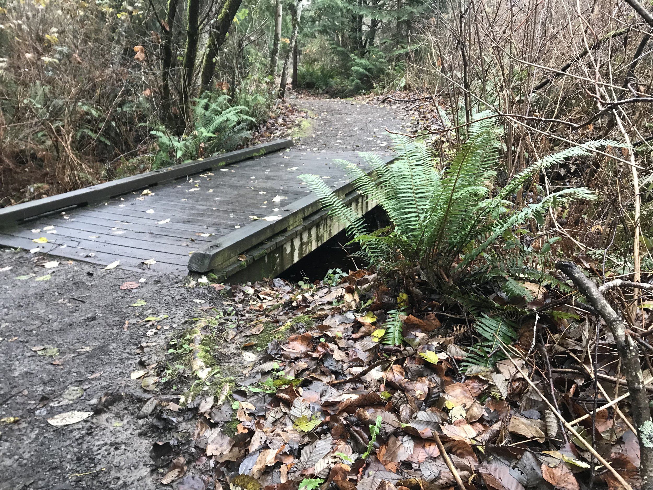
We met at the trailhead of 10-Mile-Falls, a path built into a forested slope burned by Wolverine in 2015. Charred wood, opened canopy, and fireweed are everywhere. This is a likely location for future fire interpretation.
Following prompts in a nature journal, participants used their five senses, sketched their observations, and described what they’d want to learn more about.
The what, why, and how of interpretive planning
Back at the classroom, Laura and I introduced Freeman Tilden’s principals of interpretation. We discussed common purposes of interpretation, options for media besides signage, and Watershed’s process of developing designs after a plan is in place.
We also shared a simple, unofficial interpretive plan for all of Holden Village. This clarified the organization’s mission, goals, and a central theme, under which interpretation about fire would fit.
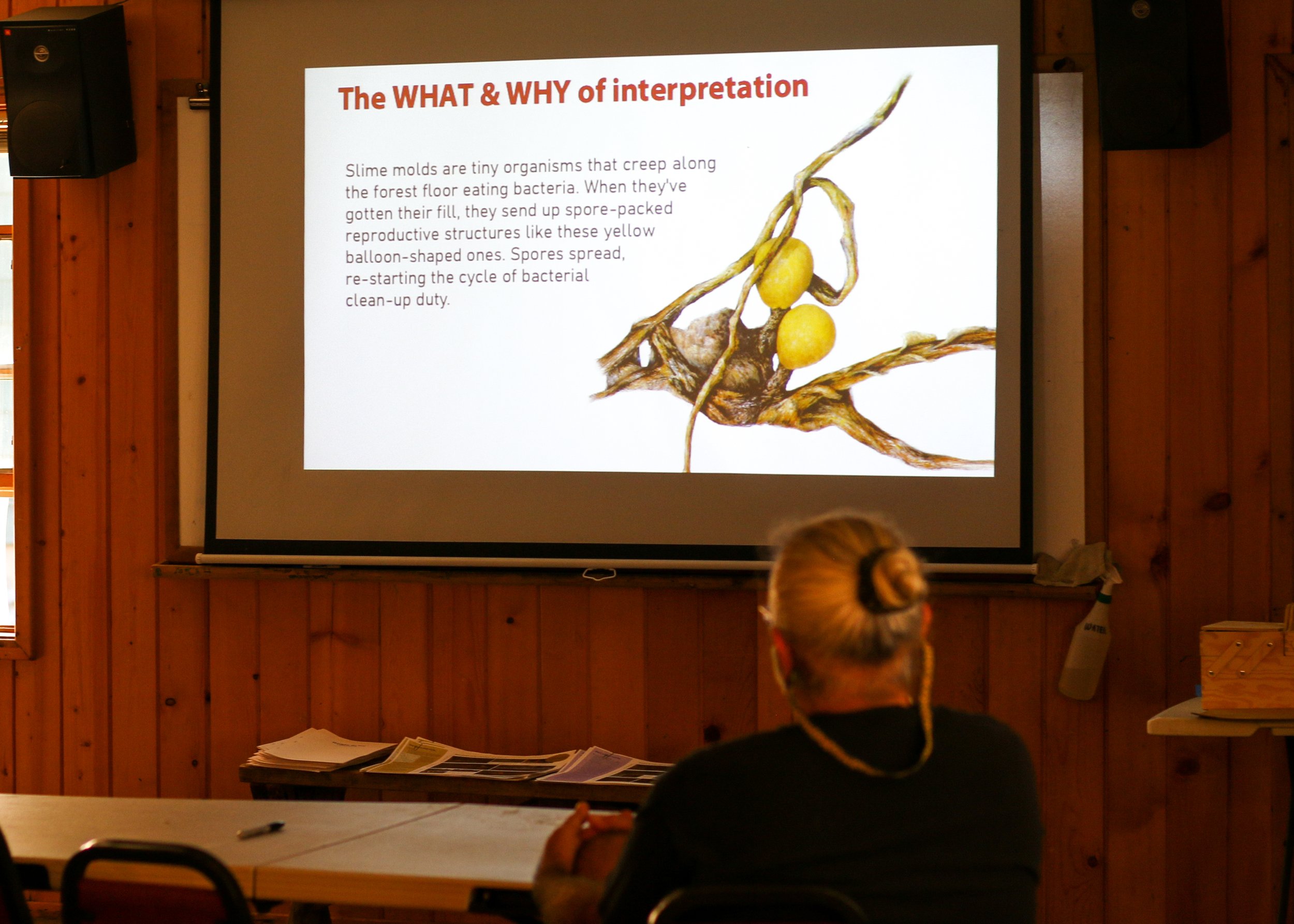
The fastest subject matter research in the West
We found fire ecologist Paul Hessburg’s documentary The Era of Megafires to be a perfect resource for interpreting the topics we had in mind: 1) fire and the ecosystem, 2) the history of people and fire in the valley, and 3) fire management practices. We showed clips from the film that introduced these topics.
Each participant received a “resources sheet” featuring screenshots from Era plus a sidebar with facts specific to Holden Village. These basic topics and bullet-point information guided each participant’s thematic development.

Each participant received one of three “resources” sheets to help them develop interpretation.
Basic interpretive planning
Everyone was given an interpretive planning worksheet, again featuring a specific topic (i.e. “human relationships with fire in this valley”) that corresponded to their “resources” sheet. Prompts helped participants develop a theme, visitor goals, and supporting stories. Laura and I shared examples of each, then gave everyone time to work.

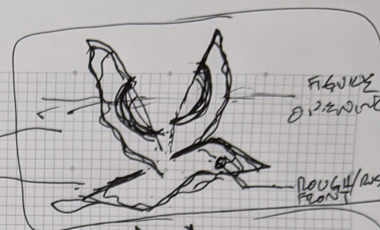
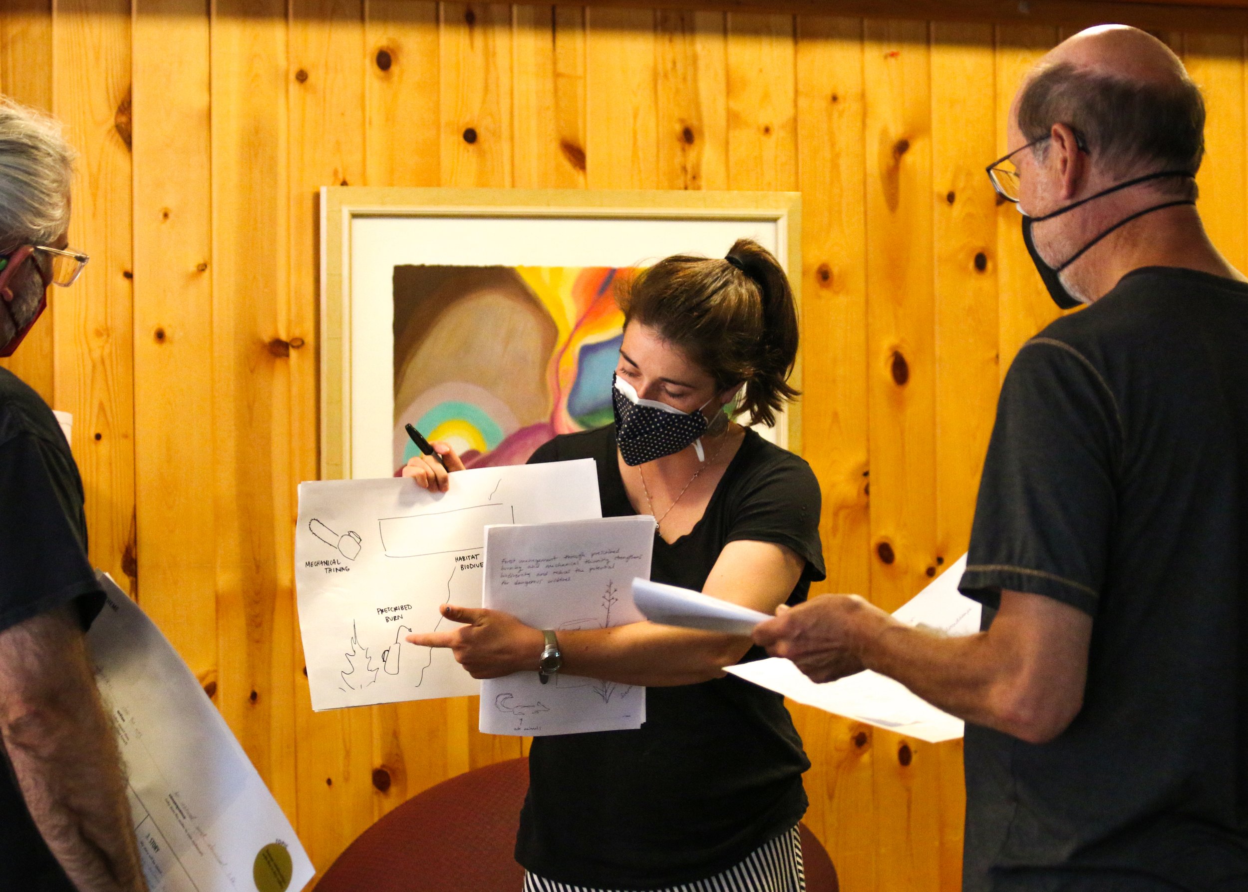
Creating concept sketches
Everyone’s interpretive plans culminated in rough sketches for signage. Participants proudly shared vivid ideas for communicating concepts like ecological succession and the importance of “wisdom traditions” coming together for successful land management.


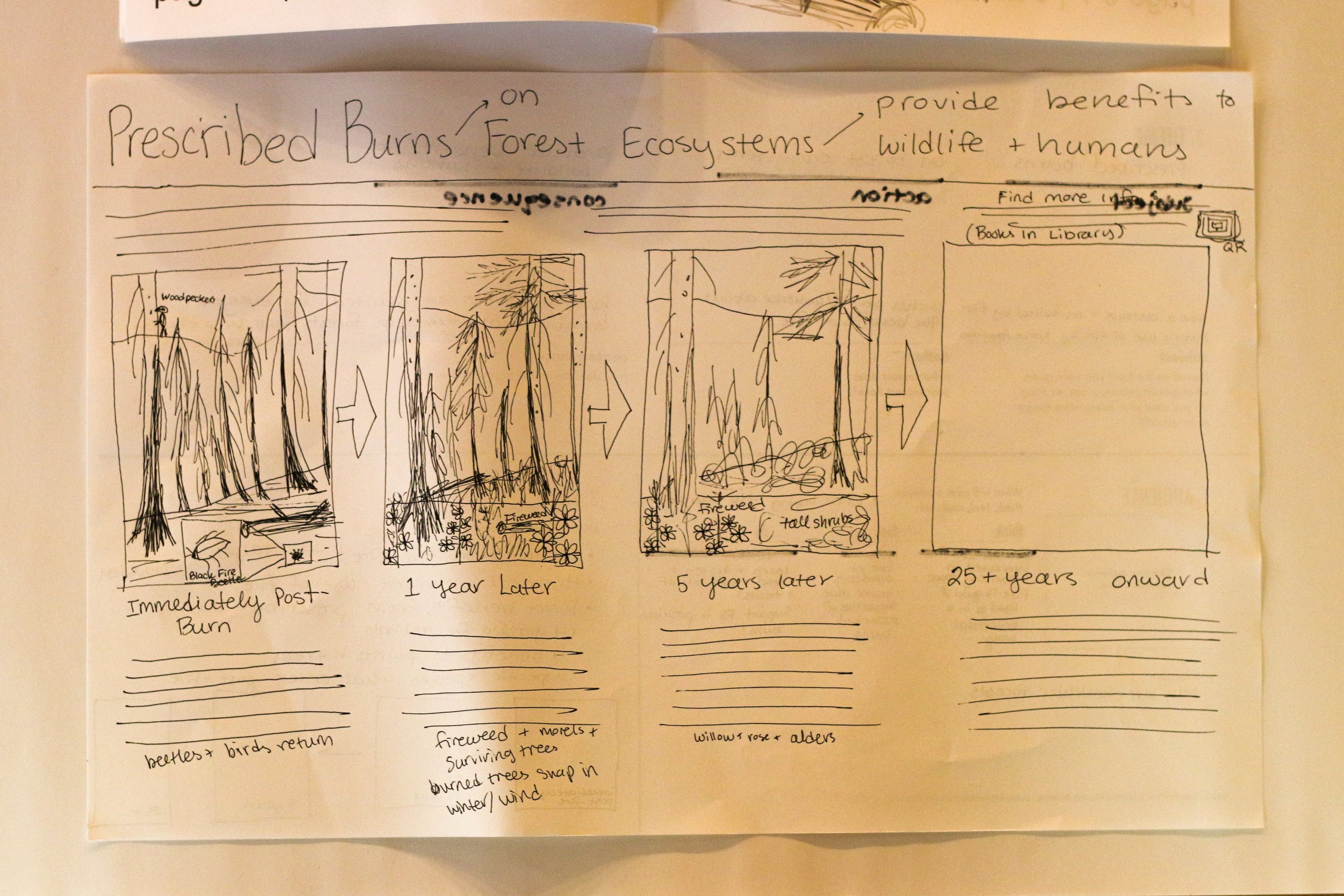
Grace shares her sketch for a sign about fire management. Image by Annika Berntsen.
Sparks of future plans
Before leaving Holden, Laura and I combed through our participants’ creations. Our findings—distilled below—should become valuable input for any actual future designs.
Commonalities among participants’ existing knowledge or feelings about fire:
“Destruction and renewal” were frequently listed. Ash, smoke, cycles, transformation, and words related to fear were also common.
Common things participants wanted to learn more about through an interpretive trail about fire:
Fire’s impact on the Village (how close did Wolverine get; future defense plans); species adaptations, Indigenous management, climate change.
Particularly unique, interesting, or common ideas for interpretive designs or content:
Highlight the concept of post-fire transition in the forest for the audience of “people going through life transitions”
Idea for an interactive device (like a video game or pinball machine) that teaches the benefits prescribed burning to kids

Several workshop participants suggested that fireweed provides a perfect metaphor for recovery after a disturbance. Image by Annika Berntsen.
Bringing jubilee back home
So, what do wildfires and fire interpretation have to do with jubilee? I reflect on this at home in central Washington, beneath skies hazy with smoke from the fires that sprout up around the state in mid-September.
Jubilee, or “abundant life for all,” can occur in western forests with thoughtful use of prescribed burning and other forest management activities. Forests need regular bursts of disturbances to maintain their mosaic of different kinds of structures.
As noted by a pastor who has devoted his career to bringing people of different faiths together, good forest management happens as relationships between communities are restored.
Some relationships—between people, and with landscapes—can perhaps be restored by communicating in the best way we know how: with empathy, clarity, and humor. Imagine an interpretive trail that stirs feelings of jubilee when we see a prescribed burn lighting up the landscape!

These interpretive planners are full of jubilee. Image by Annika Berntsen.
Featured in:
National Association of Interpretation (NAI) Legacy magazine (January/February 2023): Interpretation on Fire: How Our Workshop Sparked a Community’s Ideas for Trail Signage
by Angela Mele and Laura Frick